Ireland (/ˈaɪərlənd/ or /ˈɑrlənd/; Irish: Éire, pronounced [ˈeːɾʲə] ), also known as the Republic of Ireland, is a sovereign state in Europe occupying about five-sixths of the island of Ireland. The modern Irish state was established in 1922 as the Irish Free State, a dominion within the British Empire, following the Anglo-Irish Treaty which brought an end to the Irish War of Independence. The partition of Ireland had already been provided for in previous British legislation in 1921 in response to opposition to Irish Home Rule or independence by Unionists, who formed a majority in the north-eastern part of the country. Six of the nine counties in the northern province of Ulster were established under that legislation as Northern Ireland, part of the United Kingdom, with which the Irish state shares its only land border. The state is otherwise surrounded by the Atlantic Ocean, with the Celtic Sea to the south, Saint George's Channel to the south east, and the Irish Sea to the east.
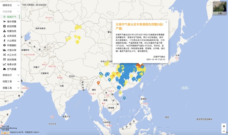
Extreme weather in China
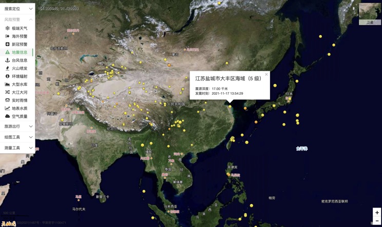
China Earthquake Information
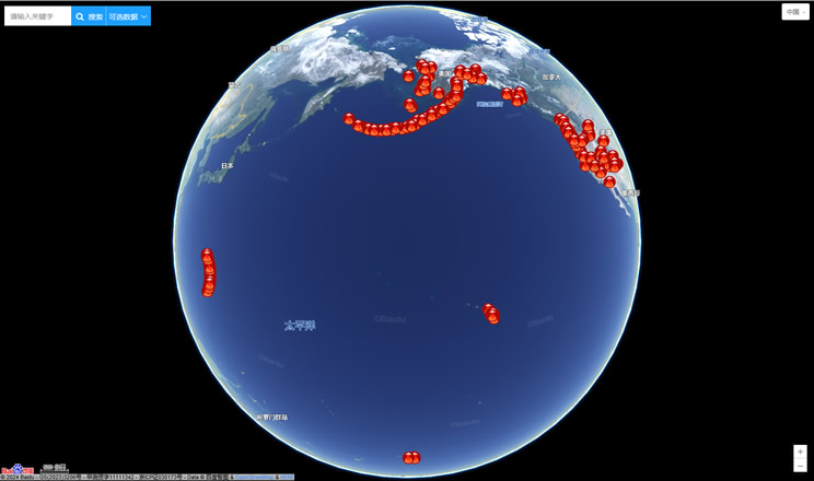
Volcano eruption
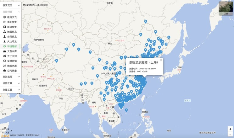
Environmental Radiation in China
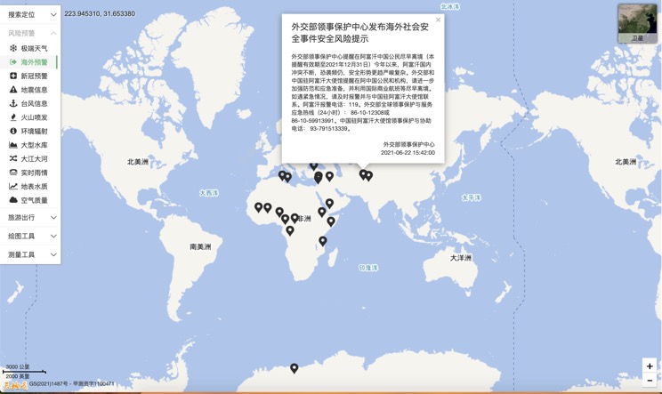
Overseas Warning
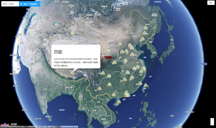
China's air quality
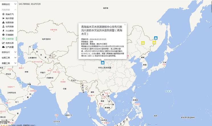
China's Water Disaster Alert
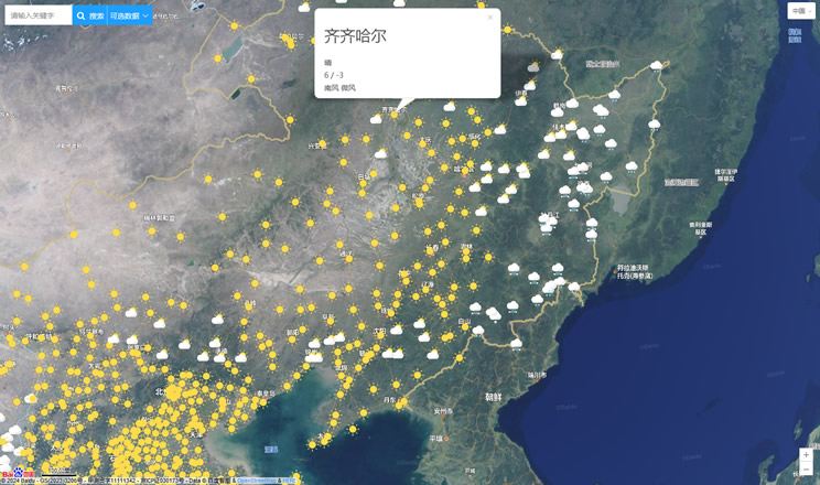
China Weather Forecast
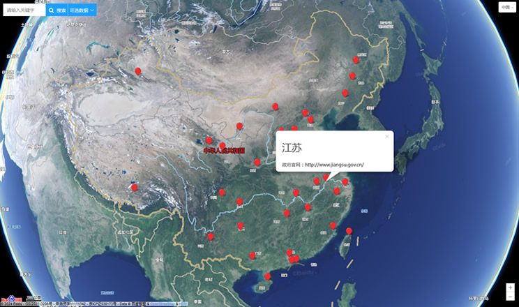
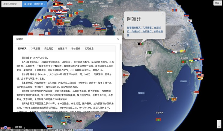
Introduction to Countries
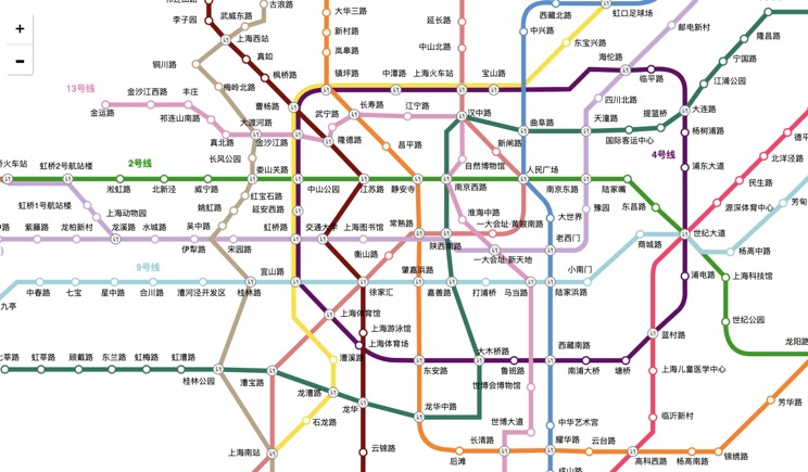
China Subway Lines
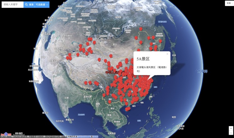
China's 5A Scenic Spots
Provincial Capitals in China
